Connecticut Interactive Trout Stocking Map, Explained
There’s nothing quite as frustrating as heading out for a day of trout fishing, only to find the water you painstakingly drove to hasn't seen a fresh stocking truck in weeks, or worse, it was just stocked yesterday and you missed the prime bite. It feels like you’re always playing catch-up, guessing where the fish might be. Thankfully, the Connecticut Department of Energy and Environmental Protection (DEEP) offers an incredible tool to cut through that confusion: the Connecticut Interactive Trout Stocking Map. This guide is going to walk you through everything you need to know about this invaluable resource, helping you understand how to use it to plan your next successful trout outing, ensuring you're always one step ahead.
Understanding the Connecticut Interactive Trout Stocking Map
Let’s be honest, trout fishing can be a bit of a treasure hunt, especially in a state like Connecticut with so many beautiful waterways. You want to know where the fish are, and when they’re put there. That's precisely what the DEEP's Interactive Trout Stocking Map aims to solve for us anglers. It's not just a pretty graphic; it's a dynamic, up-to-date resource designed to take the guesswork out of locating those freshly stocked trout.
What is the Trout Stocking Map and Why Does It Matter?
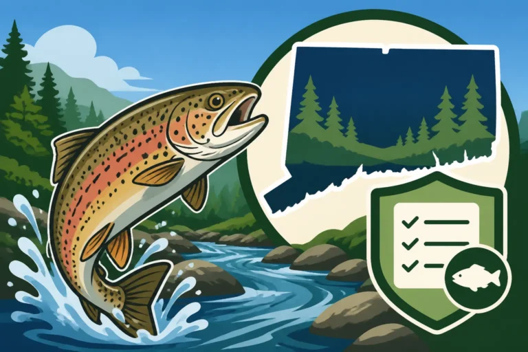
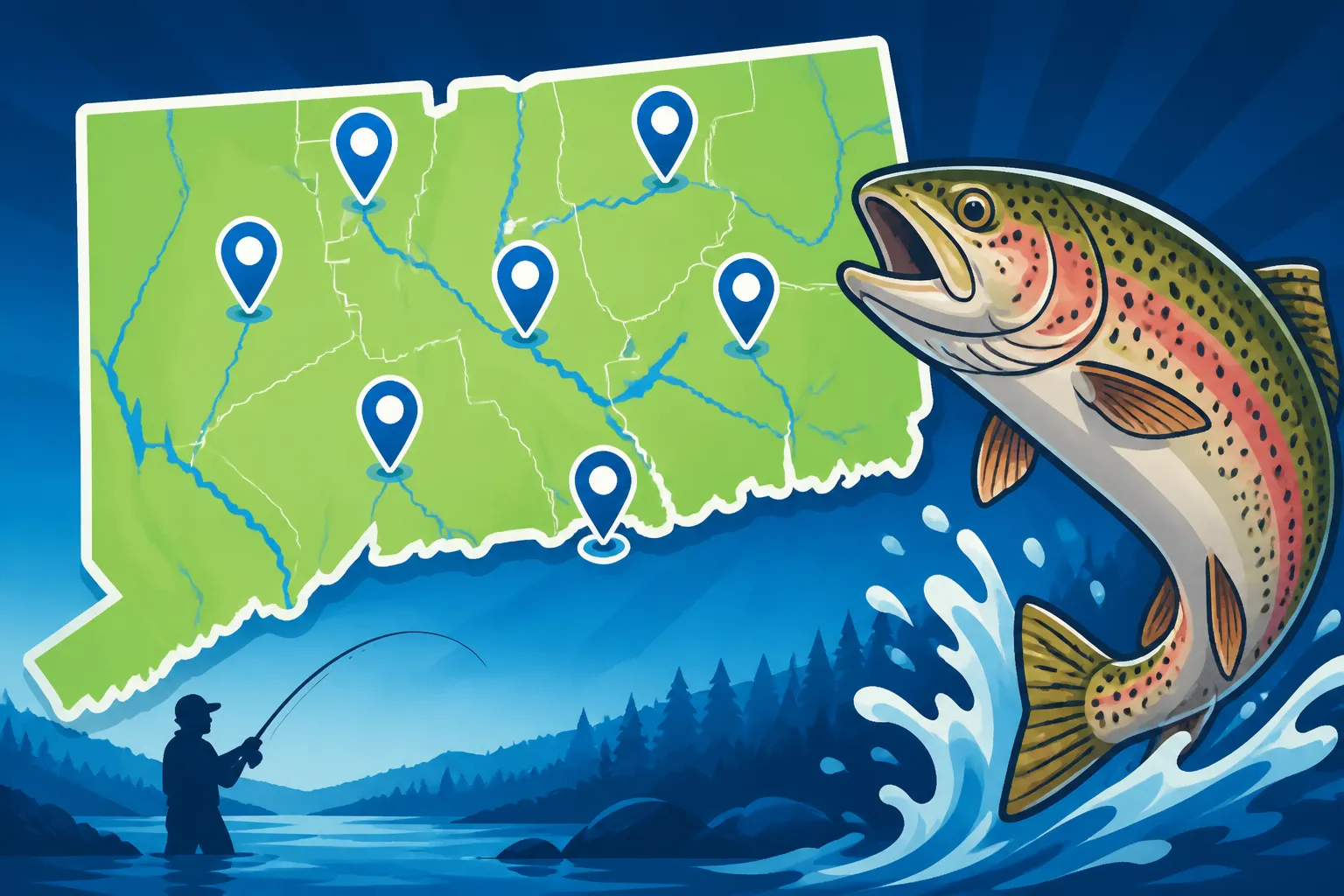
At its core, the Connecticut Interactive Trout Stocking Map is a digital, visual representation of where and when the Connecticut DEEP has stocked various species of trout across the state. Think of it as a real-time intel report for trout anglers. Before this kind of technology was widely available, you might have relied on newspaper announcements, word-of-mouth, or just sheer luck to find stocked waters. It was a crapshoot, and many a fishing trip ended with an empty creel and a feeling of "if only I'd known."
This map changes all that. It matters immensely because it provides unprecedented transparency and accessibility to stocking information. Instead of wondering, you can know. This means you can strategically plan your trips, focusing your efforts on waters that have recently received a fresh batch of fish, or areas known for holding trout longer after stocking. This tool is especially crucial during peak stocking seasons, like spring, when countless streams and lakes are filled with eager trout. Knowing the exact stocking locations and dates can drastically improve your chances of a successful day on the water, turning a potentially frustrating outing into a rewarding experience. It also helps manage expectations; if a spot hasn't been stocked in a while, you know you might be targeting holdover trout, which require different techniques than freshly stocked ones.
How Connecticut DEEP Uses the Map to Inform Anglers
The Connecticut DEEP isn't just stocking trout; they're actively trying to empower anglers with the information needed to enjoy the sport. The Interactive Trout Stocking Map is a prime example of their commitment to this goal. By making this data readily available, they achieve several objectives:
Firstly, it provides an invaluable public service. We all pay for our fishing licenses, and part of that investment goes into these stocking programs. The map ensures that we, the license holders, can easily benefit from these efforts. It democratizes information that was once harder to come by. The DEEP uploads data as soon as possible after stockings occur, giving anglers a near real-time snapshot of activity.
Secondly, it helps to distribute angling pressure. If everyone only fished the "secret" spots, those areas would quickly become overcrowded and overfished. By clearly showing where stockings are taking place across a wide array of waters – from major rivers to smaller ponds and lakes – the map encourages anglers to explore different locations. This can lead to new discoveries for individuals and also helps maintain a healthier fishing experience statewide.
Lastly, it supports responsible resource management. While the map is for our benefit, the data also helps the DEEP track their stocking effectiveness and patterns. For us, it means better planning. For example, if you're looking for larger trout, you might focus on specific rivers that receive trophy-sized brown trout, and the map often indicates these special stockings. Understanding the information provided on the map is a fundamental step in making the most of your fishing opportunities in Connecticut. Before you head out, make sure you have your Connecticut Fishing License Guide for 2026 squared away.
Navigating and Interpreting the Map's Features
Alright, so you know why the map is important. Now, let’s get down to the brass tacks of how to use it. The Connecticut Interactive Trout Stocking Map, while feature-rich, is designed to be user-friendly, even if you’re not a tech wizard. Understanding its various functions will make your trip planning much more efficient.
Accessing the Map Online: A Step-by-Step Guide
Getting to the map is straightforward. You’ll want to navigate to the official Connecticut DEEP website. A quick search for "Connecticut DEEP Trout Stocking Map" should bring you right to it. Once you're on the page, you'll typically see a disclaimer or an introductory paragraph explaining the map's purpose. Accept any terms if prompted, and then the map will load.
Here's a basic rundown of what to expect and how to get started:
- Find the Official Link: Always aim for the Connecticut DEEP's official website. You don't want to rely on outdated or unofficial sources.
- Initial Load Time: Depending on your internet connection and the number of data points, the map might take a moment to fully load. Be patient.
- Zoom and Pan: The map functions much like Google Maps. You can use your mouse wheel to zoom in and out, or click and drag to pan across the state. Start by zooming into your general area of interest, whether it's the eastern part of the state, the Litchfield Hills, or down near the shore.
- Identify Map Controls: Look for icons usually found in the corners of the map. These often include:
- Layer Control: This is crucial. It allows you to toggle different information layers on and off, such as stocking locations, water bodies, roads, and sometimes even satellite imagery.
- Legend: This explains what the different symbols and colors on the map mean. Don't skip this step!
- Search Bar: Sometimes, you can type in a specific town or water body name to jump directly to that location.
- Date Range Selector: This is key for filtering stocking events by date.
Remember, having your Printing or Carrying a Digital Fishing License in Connecticut sorted out before you head out is just as important as knowing where to go!
Deciphering the Map Symbols and Color Codes
This is where the map starts to tell its story. The DEEP uses a variety of symbols, shapes, and colors to convey a lot of information at a glance. Without understanding these, the map is just a bunch of dots.
Typically, you'll see:
- Points/Dots: These usually represent specific stocking locations along a river, stream, or pond access point. A single point might signify a bridge, a parking area, or a designated access road where trout were released.
- Lines: Some maps might use colored lines to denote an entire section of a river or stream that was stocked, rather than just pinpoint locations.
- Color Codes: This is vital. The colors usually differentiate between:
- Trout Species: Different colors might represent Rainbow Trout, Brown Trout, Brook Trout, or even specific batches like "trophy" trout. For instance, blue might be rainbow, while green is brown trout.
- Stocking Dates: A very common and helpful color coding system uses different shades to indicate how recently a location was stocked. For example, bright green might mean "stocked within the last 7 days," yellow "stocked 8-14 days ago," and red "stocked over 14 days ago." This visual cue immediately tells you which spots are "hot" and which might have fewer fish left. Always consult the map's legend for the most current color key, as these can occasionally change.
Take your time to understand the legend. It’s like the instruction manual for the map. If you're planning a trip to one of the Best Trout Streams in Connecticut, knowing what species were stocked there will help you choose your gear and tactics accordingly.
Filtering for Specific Trout Species and Timeframes
This is arguably the most powerful feature of the interactive map, allowing you to customize the data displayed to fit your specific angling goals. You're not always looking for any trout; sometimes you have a target in mind.
Most interactive maps will have filter options, often found in a sidebar or as dropdown menus. Here’s what you can typically filter by:
- Species: If you're specifically targeting rainbow trout for their fight, or brown trout for their elusive nature, you can deselect other species to only show relevant stocking points. This declutters the map and lets you focus.
- Date Range: This is incredibly useful. You can often set a custom date range, showing only stockings that occurred, say, in the last week, or within the last month. This helps you identify the freshest fish. If you're planning for a specific event like Connecticut Trout Season and Stocking Rules opening day, you can look for pre-season stockings.
- Water Body Type: Some maps allow you to filter by lakes, ponds, or rivers/streams. This is helpful if you prefer still water fishing over moving water, or vice-versa.
- Town/County: You might be able to narrow down results to a specific geographic area, which is great if you have limited travel time.
By filtering, you're not just looking at a general map; you're creating a personalized fishing forecast. This precision is what makes the map such a game-changer for serious trout anglers.
Maximizing Your Fishing Success with Stocking Data
Having access to the stocking map is one thing; truly leveraging its information to improve your catch rate is another. It’s not just about where the fish are, but how to use that knowledge to your advantage.
Timing Your Visit for Freshly Stocked Waters
The golden rule of fishing stocked waters is often "fish when the fish are there." The map makes this incredibly easy. Freshly stocked trout are generally less wary, more eager to bite, and more concentrated in the immediate areas where they were released.
Here’s how to use timing to your advantage:
- The "Day After" Advantage: If the map shows a water body was stocked yesterday, today is often prime time. The fish are still disoriented from transport and haven't spread out much. They're also often quite hungry after being held in hatchery trucks. You’ll find them eager to take common baits like PowerBait, worms, or small spinners.
- The "First Week" Window: Even if you can't make it the day after, the first few days to a week post-stocking are usually very productive. After about a week, angling pressure, predation, and natural dispersion start to thin out the numbers.
- Avoiding Crowds (Sometimes): While freshly stocked waters can draw a crowd, checking the map allows you to identify less popular but equally recently stocked spots. If you see a major river was stocked, but also a lesser-known pond nearby on the same day, the pond might offer a more peaceful experience with similar catch rates. This is especially true if you are looking for advice on How to Catch Trout Right After Stocking in Connecticut.
- Mid-Week Advantage: Stockings can happen any day. If you have the flexibility to fish on a Tuesday or Wednesday after a Monday stocking, you’ll likely encounter fewer anglers than on a weekend.
This strategic timing is one of the biggest benefits of the interactive map, giving you a competitive edge and ensuring you're not casting into empty waters.
Identifying Ideal Fishing Locations Based on Stocking Points
The map doesn't just tell you a river was stocked; it often pinpoints exact stocking locations. This level of detail is invaluable for narrowing down your search and focusing your efforts.
When you zoom in on a stocking point, consider these factors:
- Accessibility: Is it near a public parking area, a bridge, or a marked trail? These are often the easiest places to access and where fish are first released. Look for spots where the stocking truck would have easy access to the water.
- Immediate Structure: Once trout are released, they tend to seek out cover and current breaks. Look for nearby features on the map like bends in the river, deeper pools, undercut banks, or submerged structures (if visible on a satellite overlay). These are natural holding spots for trout.
- Upstream/Downstream Movement: While freshly stocked trout might stay put for a bit, over time they will begin to move. In rivers, trout generally move upstream to find preferred temperatures and food. So, fishing slightly upstream from a stocking point in the days following can be a smart move, especially in areas with moderate current.
- Flow and Depth: While the map won't tell you the exact water depth or flow, by identifying the type of water (e.g., a wide, slow river section versus a narrow, fast-flowing stream), you can anticipate where trout might hold. Ponds and lakes offer different dynamics, with trout often congregating near cooler inflows or deeper sections.
For those planning to fish specific areas, knowing the Connecticut Trout Management Area Regulations will be critical, as these areas often have specific rules that supersede general state regulations.
Combining Map Data with Other Environmental Factors
The interactive map is a fantastic tool, but it's not the only factor in a successful fishing trip. The best anglers combine stocking data with other environmental intelligence to make truly informed decisions.
Consider these additional factors:
- Water Temperature: Trout, especially rainbows and browns, prefer cooler water. If the map shows a stocking point on a river, but a heat wave has driven water temperatures into the upper 60s or 70s Fahrenheit, those fish might be stressed and lethargic. You might be better off seeking out spring-fed streams or deeper lake sections.
- Water Levels and Clarity: Recent heavy rains can blow out rivers, making them high, fast, and muddy. While fish might still be present, fishing can be challenging. Conversely, very low, clear water can make trout extremely spooky. Check local river gauges or weather forecasts.
- Weather Conditions: Overcast days or light rain often provide excellent trout fishing conditions. Bright, sunny days, especially in clear, shallow water, can make fish more wary. A dropping barometer before a storm can also trigger a bite.
- Local Reports: While the map is official, local tackle shops or online fishing forums can offer anecdotal evidence about how a particular stocking is performing, what baits are working, and current conditions. Think of the map as your primary source, and local reports as supplemental, real-world validation.
- Time of Day: Early mornings and late evenings are almost always prime times for trout, regardless of stocking. Combine this with recent stocking data for an even better chance.
By integrating the precise information from the map with broader environmental understanding, you transform from a reactive angler into a proactive one, significantly increasing your odds of a memorable day on the water. Many anglers even find great deals on essential gear like waders, rods, and flies on platforms like Amazon before heading out.
Beyond the Map: Additional Considerations for Trout Anglers
While the stocking map is an incredible asset, there's more to successful trout fishing in Connecticut than just knowing where the fish are. Understanding different water types, having the right gear, and respecting the rules are all part of the equation.
Understanding Different Trout Management Areas
Connecticut has a diverse array of trout waters, and the DEEP manages them in various ways to provide different fishing experiences. These specific designations are important because they often come with their own unique rules, which you must adhere to. The map sometimes indicates these areas, but it's crucial to cross-reference with the official regulations.
Key management areas include:
- Trout Management Areas (TMAs): These are stretches of rivers or streams managed for wild trout or holdover trout populations, often with strict catch-and-release rules or specific tackle restrictions (e.g., fly-fishing only, single barbless hooks). They are often stocked, but the goal is to create a more natural, challenging angling experience. You can learn more by checking out the Connecticut Trout Management Area Regulations.
- Trophy Trout Streams: Some rivers are designated for larger-than-average trout stockings, offering a shot at a true lunker. These also often have specific regulations regarding minimum size and creel limits.
- Wild Trout Management Areas (WTMAs): These areas are managed to protect and enhance self-sustaining populations of native brook trout or wild brown trout. Stocking might be minimal or non-existent, and regulations are often very conservative to protect the natural reproduction.
- Standard Stocked Waters: These are the most common and include many ponds, lakes, and rivers where trout are stocked primarily for recreational harvest. General state regulations typically apply here.
Knowing the specific rules for the water you plan to fish is paramount. Always consult the official Connecticut Fishing Regulations Explained before heading out, especially concerning Connecticut Trout Limit and Possession Rules. A simple misunderstanding of a regulation can turn a great day into a costly one.
Gear Essentials for Stocked Trout Fishing
You don't need a fortune's worth of gear, but having the right tools for the job certainly helps. Stocked trout are often less selective than wild trout, but certain setups will always perform better.
Here’s a basic checklist of essentials:
- Rod and Reel: A light to medium-light spinning rod (5-7 feet) paired with a small spinning reel (size 1000-2500) spooled with 4-6 lb monofilament or fluorocarbon line is perfect. For fly anglers, a 3-5 weight fly rod is ideal.
- Baits:
- Live Bait: Worms (nightcrawlers, mealworms), corn, and salmon eggs are perennial favorites for stocked trout.
- Scented Baits: PowerBait (especially in bright colors like chartreuse or orange) and Gulp! Trout Baits are incredibly effective, especially right after stocking.
- Artificial Lures: Small inline spinners (e.g., Mepps, Rooster Tail, Panther Martin), spoons (like Kastmasters or Phoebe spoons), and small soft plastic jigs are excellent for aggressive, recently stocked fish.
- Terminal Tackle: A variety of small hooks (sizes 8-12), split shot weights, small swivels, and perhaps some small bobbers are crucial.
- Landing Net: A small, soft-mesh landing net is indispensable for safely landing fish, especially if you plan on practicing catch and release. It helps minimize stress on the fish. You can find many affordable options on Amazon.
- Waders and Boots (Optional but Recommended): If you're fishing rivers or streams, chest waders will significantly expand your access to prime fishing spots and keep you comfortable.
- Pliers/Forceps: Essential for removing hooks, especially if a fish has swallowed the bait deep. Again, good quality fishing pliers are readily available.
- Cooler with Ice: If you plan on keeping your catch, a cooler is a must to keep the fish fresh.
- License: And of course, your valid Connecticut fishing license! You can also check out this article on Free and Discounted Fishing License Options in Connecticut.
Having a well-stocked tackle box ensures you're ready for whatever the trout are biting on that day. For a deeper dive into techniques, check out Spring Trout Fishing Techniques for Connecticut Streams.
Respecting Regulations and Ethical Angling Practices
The interactive map helps you find the fish, but it doesn't give you a license to ignore the rules or act irresponsibly. Ethical angling is a cornerstone of our sport and vital for its continuation.
- Know the Regulations: I cannot stress this enough. Every water body, and sometimes even specific sections of a river, can have unique rules regarding creel limits, size limits, tackle, and seasons. Always consult the latest Connecticut Angler's Guide, readily available on the DEEP website or where you purchase your license. Ignorance is not an excuse.
- Practice Catch and Release Responsibly: If you're not keeping fish, handle them as little as possible. Wet your hands before touching them, avoid squeezing, and release them gently back into the water as quickly as possible. Consider using single, barbless hooks to make releases easier and less damaging.
- Pack It In, Pack It Out: Leave no trace. Any trash you bring in, take out. This includes fishing line, bait containers, and food wrappers. Litter degrades the natural beauty of our fishing spots and harms wildlife.
- Respect Private Property: Many excellent fishing spots are adjacent to private land. Always be mindful of property lines and only fish in areas with public access. Trespassing not only gets you into trouble but can also lead to the loss of public access to popular areas.
- Be Considerate of Other Anglers: Share the water. Don't crowd other anglers, especially when they've found a productive spot. A simple "hello" and respecting their space goes a long way.
- Report Poaching: If you see anyone violating fishing regulations or harming the environment, report it to the Connecticut DEEP Environmental Conservation Police. Protecting our resources is everyone's responsibility.
By following these principles, you not only ensure your own enjoyment but also contribute to the health of Connecticut's fisheries for future generations.
Common Questions and Troubleshooting the Map
Even with a great tool like the Interactive Trout Stocking Map, questions can arise. Knowing when the data is updated and what to do if something seems off can save you a lot of head-scratching.
When is the Map Updated, and How Accurate is the Data?
This is perhaps the most common question anglers have, and it's a fair one. The utility of an "interactive" map hinges on its timeliness.
- Update Frequency: The Connecticut DEEP strives to update the map as quickly as possible after stocking events. In many cases, new stocking data can appear on the map within hours or a day of the trout being released. During peak stocking periods, like early spring, you might see multiple updates throughout the week. It's not usually a "live" feed in the sense of a GPS tracker on a stocking truck, but it's very close to real-time post-delivery.
- Data Accuracy: The data itself is generally very accurate. The DEEP uses detailed records of where and when their trucks release fish. The locations marked on the map correspond to these official stocking points. However, it's important to remember that trout don't necessarily stay exactly where they're dropped. Especially in rivers and streams, fish will spread out quickly, move upstream or downstream, and seek out cover. So, while the stocking location is accurate, the current location of every fish is dynamic.
- Seasonality: The map is most active during the spring and fall stocking seasons. During the summer, when water temperatures get too high for trout in many streams, stockings are minimal or cease entirely, and the map will reflect this by showing fewer recent entries. Similarly, winter stockings for ice fishing are reflected when they occur.
It’s always a good idea to check the map regularly before your trip, especially if you're targeting a popular spot or planning around Connecticut Trout Season and Stocking Rules.
Addressing Missing Data or Unexpected Stocking Changes
What if you check the map and don't see a recent stocking for a place you expected? Or, you go to a spot that was supposedly just stocked and find no signs of fresh fish? While rare, these situations can happen.
- Temporary Delays: Sometimes, there can be a slight delay in data entry due, for example, to administrative processing or a technical glitch. If a stream you know is always stocked by a certain date hasn't appeared, give it another day or two before assuming it wasn't stocked.
- Environmental Factors Causing Changes: Stocking plans are sometimes adjusted due to unforeseen circumstances like severe weather, dangerously high or low water levels, or road closures that prevent truck access. If a stocking is postponed or shifted to another location, the map should reflect these changes once they are finalized.
- Small, Unlisted Stockings: While the main interactive map is comprehensive, very small, localized stockings by private groups or special events might not always appear immediately or at all on the main public map. These are the exceptions, not the rule.
- What to Do If in Doubt: If you have persistent questions about a specific stocking or see something on the map that seems genuinely incorrect, the best course of action is to contact the Connecticut DEEP Fisheries Division directly. Their contact information is usually available on their website. They are the ultimate authority and can clarify any discrepancies.
Remember, the map is a powerful guide, but fishing is still an outdoor activity with variables that can change. Use the map as your primary planning tool, but always be prepared for minor adjustments on the fly. And don't forget, if you’re looking for other fish species or planning adventures in the Sound, you might need to check out Connecticut Fishing Regulations Explained or even consider a Connecticut Inland vs Marine vs All-Waters License, Explained.
Disclaimer
The information provided in this guide is for general informational purposes only and is based on publicly available data from the Connecticut Department of Energy and Environmental Protection (DEEP) as of the last update. While we strive to provide accurate and up-to-date information, fishing regulations, stocking schedules, and map features can change without notice. Always consult the official Connecticut DEEP website and the current year's Connecticut Angler's Guide for the most accurate and legally binding regulations and information before engaging in any fishing activities. Adherence to all state and local laws is the angler's responsibility.